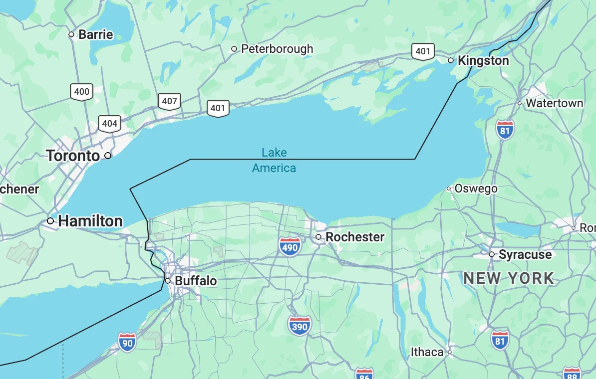
In a significant shift for digital cartography, Google Maps has officially updated the name of Lake Ontario to Lake America for users within the United States. This change, which appeared on digital interfaces late Saturday, follows an executive order issued by President Donald Trump earlier in the week. The directive aimed to rebrand the easternmost Great Lake within all official federal databases, marking a new chapter in the administration’s ongoing use of geographic nomenclature as a tool of geopolitical and economic leverage.
The renaming of the 7,340-square-mile body of water is the latest development in a deepening trade conflict between Washington and Ottawa. While the lake serves as a critical maritime border between the state of New York and the Canadian province of Ontario, its digital identity has now become a point of contention. As of Sunday morning, users accessing Google Maps from U.S.-based IP addresses are presented with the label "Lake America," while those accessing the platform from Canada or international locations continue to see the traditional "Lake Ontario" or a combination of both names.
The Genesis of the Renaming: A Strategy of Cartographic Sovereignty
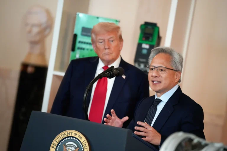
The executive order, signed on Thursday, was explicitly framed by the White House as a response to what the administration characterizes as unfair trade practices and high tariffs imposed by the Canadian government. By targeting the name of a province—Ontario—that is central to Canada’s economic and political identity, the rebranding serves as a symbolic assertion of American influence over the shared waterway.
This is not the first time the administration has utilized this tactic. In January 2025, a similar executive order was issued to rename the Gulf of Mexico to the "Gulf of America." That move was part of a broader friction regarding border security and trade negotiations with Mexico. In that instance, major technology firms including Google, Apple, and Microsoft eventually updated their platforms to reflect the change after the U.S. Department of the Interior’s Geographic Names Information System (GNIS) was formally altered.
The transition for Lake Ontario followed an accelerated timeline. Once the Department of the Interior updated its records—the authoritative source for roadway signs, federal maps, and government literature—Google moved to synchronize its data. While private companies are not legally compelled to follow federal naming conventions, most major providers adhere to the GNIS to maintain consistency with official government communications and physical signage.
Technical Implementation and Google’s "Localized View" Policy
The implementation of the name change highlights the complex algorithms used by modern mapping services to navigate international disputes. Google’s approach to "Lake America" mirrors its long-standing policy regarding disputed territories and bodies of water with multiple names, such as the Sea of Japan (also known as the East Sea) or the Persian Gulf (referred to by some as the Arabian Gulf).
In an unsigned statement released via its official blog, Google clarified the rollout: "People using Maps in the US will see ‘Lake America,’ those in Canada will continue to see ‘Lake Ontario,’ and those outside of the US and Canada will see both names. These updates follow our long-standing policy for bodies of water with names that vary from country to country, and are starting to roll out now."
This "localized view" ensures that Google remains compliant with the official standards of the country in which the user is located, thereby avoiding legal or regulatory friction with national governments. However, it also creates a bifurcated digital reality where the same physical geographic feature is identified differently depending on the user’s side of the border.
Chronology of the Rebranding Effort
The transition from Lake Ontario to Lake America has moved through several distinct phases over the past week:
- Thursday: President Trump issues the executive order, citing the need for "geographic clarity and national pride" amid a dispute over dairy and automotive tariffs with Canada.
- Friday: The Department of the Interior begins the process of updating the Geographic Names Information System (GNIS), the federal repository for all domestic geographic names.
- Saturday Afternoon: Internal records at the GNIS are updated, and notification is sent to major technology partners and state-level departments of transportation.
- Saturday Evening: Google Maps becomes the first major digital provider to reflect "Lake America" for U.S. users.
- Sunday Morning: The federal GNIS website displays a notification that its maps are "in the process of being updated to reflect this name change."
While Google has been the first to act, other tech giants are expected to follow. Apple Maps and Microsoft’s Bing Maps traditionally lag behind Google by several days or weeks in implementing such changes, as they often wait for the full propagation of federal data through secondary government channels.
Divergent Responses in the Mapping Community
The rebranding has not been met with universal compliance across the tech sector. MapQuest, one of the oldest names in digital navigation, took a public stance against the order. In a social media post that quickly went viral, the company stated, "We’re not changing it," signaling a refusal to adopt the "Lake America" nomenclature despite the federal update.
Similarly, the open-source community has seen heated internal debates. OpenStreetMap (OSM), a collaborative project often described as the "Wikipedia of maps," relies on a global community of editors. Because OSM data powers services like Uber, Lyft, and various logistics platforms, the naming of Lake Ontario carries significant weight. Currently, OSM’s consensus-based model recognizes both the U.S. federal name and the international name, leaving it up to individual developers using their API to decide which label to display.
Critics of the change within the mapping community argue that renaming a 10,000-year-old glacial lake for short-term political leverage undermines the integrity of geographic data. Proponents, however, suggest that naming conventions have always been a reflection of political reality and that digital maps must evolve to reflect the laws of the land they serve.
Economic and Diplomatic Implications
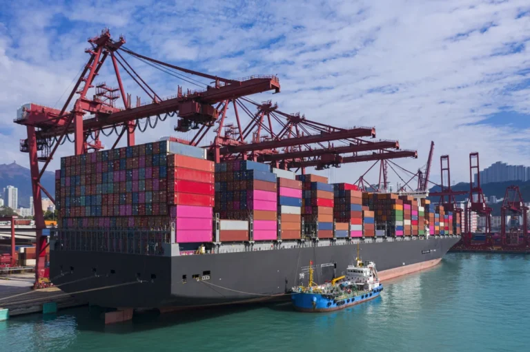
The renaming comes at a delicate time for North American relations. Lake Ontario is a vital artery for the Great Lakes-St. Lawrence Seaway, a massive shipping corridor that supports billions of dollars in trade between the U.S. and Canada.
Industry analysts suggest several potential areas of impact:
- Maritime Logistics: Shipping manifests and international port registries may face administrative hurdles if U.S. federal documentation uses "Lake America" while Canadian and international maritime authorities stick to "Lake Ontario."
- Tourism and Branding: The tourism industry in the Finger Lakes region and Upstate New York, which relies heavily on the "Lake Ontario" brand for fishing and recreational marketing, may face confusion as digital searches and GPS units begin to use the new name.
- Cross-Border Relations: Canadian officials have expressed "disappointment" over the move. Global Affairs Canada released a brief statement noting that "Lake Ontario is an internationally recognized name established through centuries of history and shared stewardship."
From a legal perspective, the rebranding primarily affects federal agencies. However, it creates a cascading effect for state governments. New York’s Department of Transportation may eventually be required to update physical signage on highways such as the Lake Ontario State Parkway, a project that would carry a significant taxpayer price tag.
Analysis: The Future of Cartographic Diplomacy
The shift to "Lake America" represents a broader trend in which digital infrastructure becomes a theatre for national policy. In the 21st century, the "truth" of a map is often determined by the software code and the jurisdiction of the company providing it.
By successfully influencing Google Maps—the world’s most widely used navigation tool—the administration has demonstrated how executive power can be projected into the digital sphere to alter the perception of physical reality. Whether this change remains a permanent fixture of American geography or serves as a temporary bargaining chip in trade negotiations remains to be seen.
As of now, the digital border between the U.S. and Canada has become more than just a line on a map; it is now a linguistic divide. For millions of travelers and residents in the Great Lakes region, the name of the water they look out upon now depends entirely on which side of the 45th parallel they stand and which app they open on their smartphones.
About the Author